🗺️ Example Datasets#
A few example datasets are included with localtileserver. A particularly useful one has global elevation data which you can use to create high resolution Digital Elevation Models (DEMs) of a local region.
from localtileserver import get_leaflet_tile_layer, examples
from ipyleaflet import Map

# Load example tile layer from publicly available DEM source
client = examples.get_elevation()

# Create ipyleaflet tile layer from that server
t = get_leaflet_tile_layer(client,
                           indexes=1, vmin=-500, vmax=5000,
                           colormap='plasma',
                           opacity=0.75)

m = Map(zoom=2)
m.add(t)
m

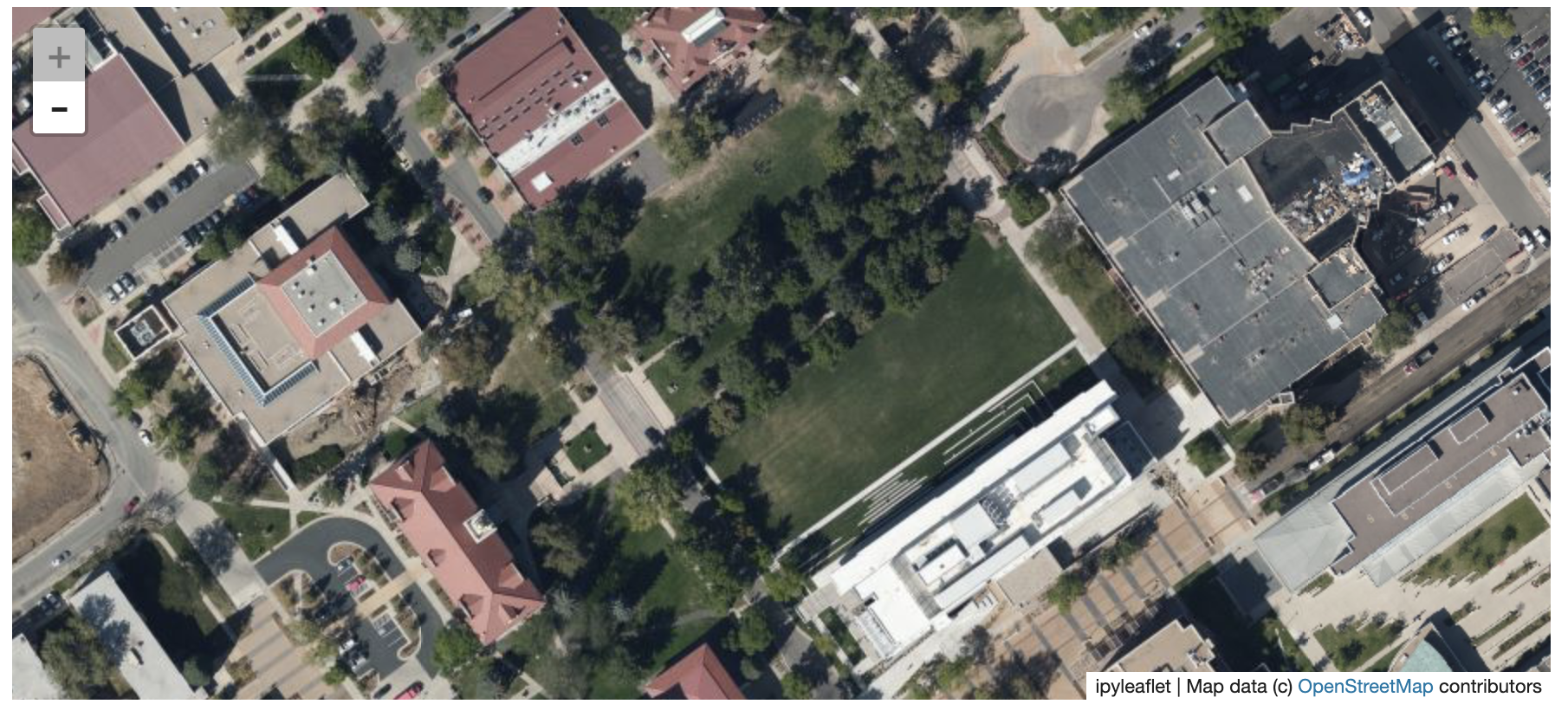
Here is another example with the Virtual Earth satellite imagery
from localtileserver import get_leaflet_tile_layer, examples
from ipyleaflet import Map

# Load example tile layer from publicly available imagery
client = examples.get_virtual_earth()

# Create ipyleaflet tile layer from that server
t = get_leaflet_tile_layer(client, opacity=1)

m = Map(center=(39.751343612695145, -105.22181306125279), zoom=18)
m.add(t)
m
